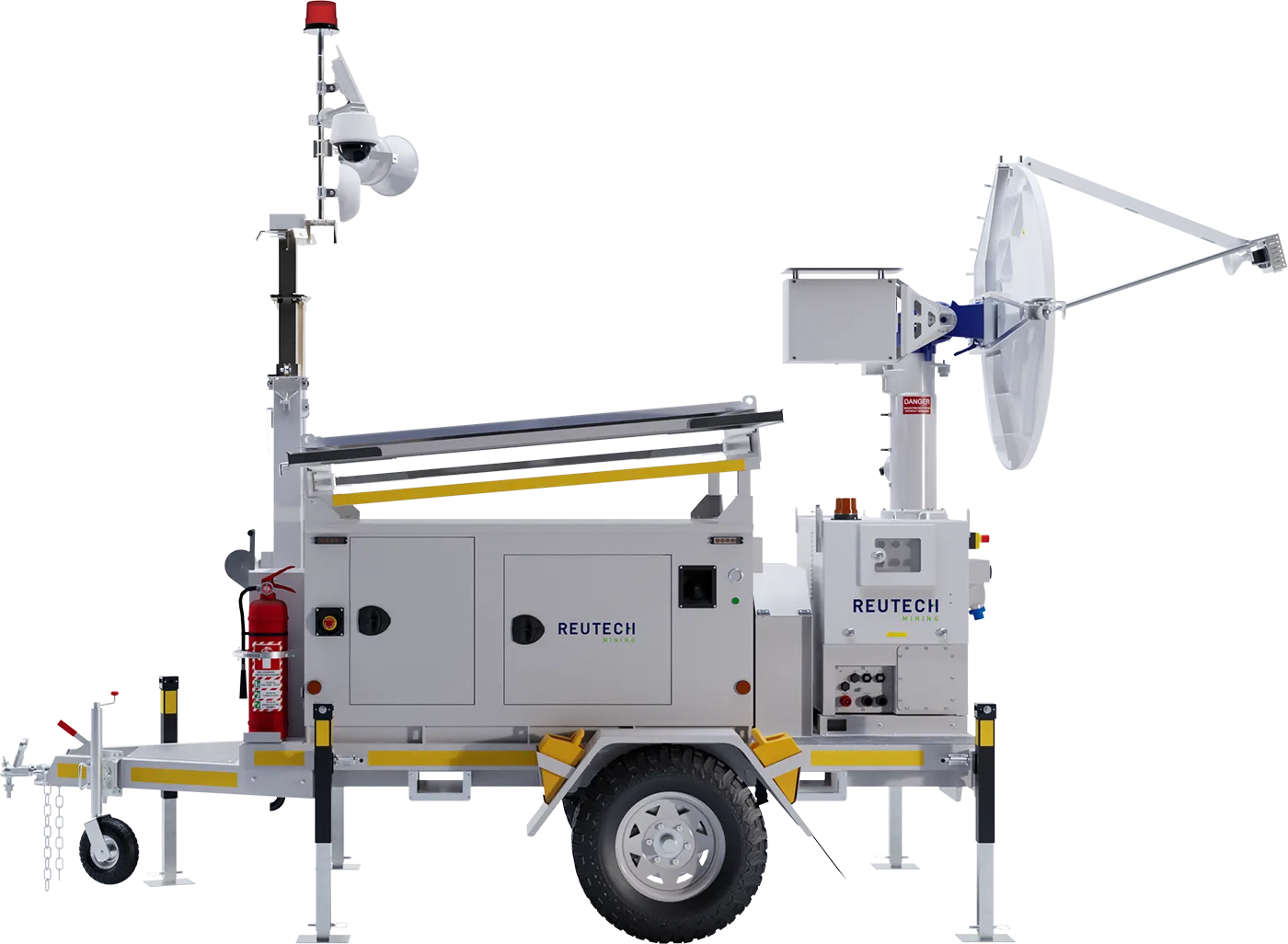
Slope Vision is Reutech Mining’s high-definition georeferenced camera system, providing visual information to complement radar deformation monitoring without interrupting radar operations.
Now integrated directly into MSR Solo, Slope Vision allows monitoring personnel to view live camera footage and direct cameras towards specific georeferenced points of interest on the monitored slope.
When radar detects movement or triggers an alarm, Slope Vision enables targeted visual inspection of the area of concern, providing additional context to support geotechnical interpretation and operational decision-making.
Slope Vision connects the camera’s field of view to the spatial coordinates of the monitored slope, allowing cameras to be directed towards selected points of interest on the radar synthetic map.
This enables monitoring personnel to visually inspect areas associated with radar-detected movement or alarms while the radar continues its primary monitoring function.
The camera provides visual information about slope conditions and operational activity, complementing radar deformation measurements.


Slope Vision is now integrated into the MSR Solo web-based software environment, bringing camera configuration, georeferencing, viewing and control into the radar monitoring interface.
Monitoring personnel can access live camera views, select georeferenced monitoring points and direct cameras towards areas of concern without switching to a separate Slope Vision application.
The integration supports a more connected monitoring workflow, with radar deformation information and camera controls accessible through MSR Solo.


Georeference cameras to the monitored slope’s spatial coordinates, enabling targeted visual inspection of selected points on the synthetic map.
View live camera footage and capture still images of observed slope conditions directly through the MSR Solo camera interface.
Direct cameras towards selected monitoring points, enter specific coordinates or use pan-tilt-zoom controls. Compatible cameras also support click-to-move functionality within the video image.
Visually inspect areas associated with radar-detected movement or alarms while the radar continues monitoring without interruption.
Slope Vision cameras can be deployed on compatible Reutech radar platforms or at fixed positions on the mine site, depending on the monitoring requirements.
MSR Solo V2.0 supports compatible camera systems including Pelco Spectra Enhanced 8, Hikvision TandemVu and Dahua Starlight Laser WizMind models.
Slope Vision camera specifications depend on the selected camera model and configuration.
PTZ (360° azimuth, 0° to 90° elevation)
Full HD (1920×1080)
30x optical zoom
-45°C to 60°C / -49°F to 140°F sustained operation
-51°C to 60°C / -60°F to 140°F
100-240VAC 50-60Hz | 24VAC, 24VDC
VideoXpert
16:9
Slope Vision is integrated with MSR Solo for use alongside:
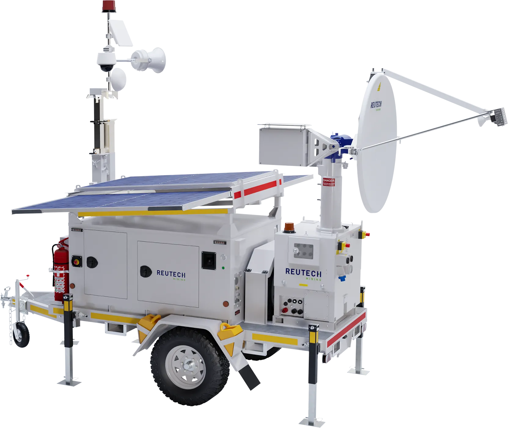
Real Aperture Radar supporting configurable strategic and tactical slope stability monitoring.
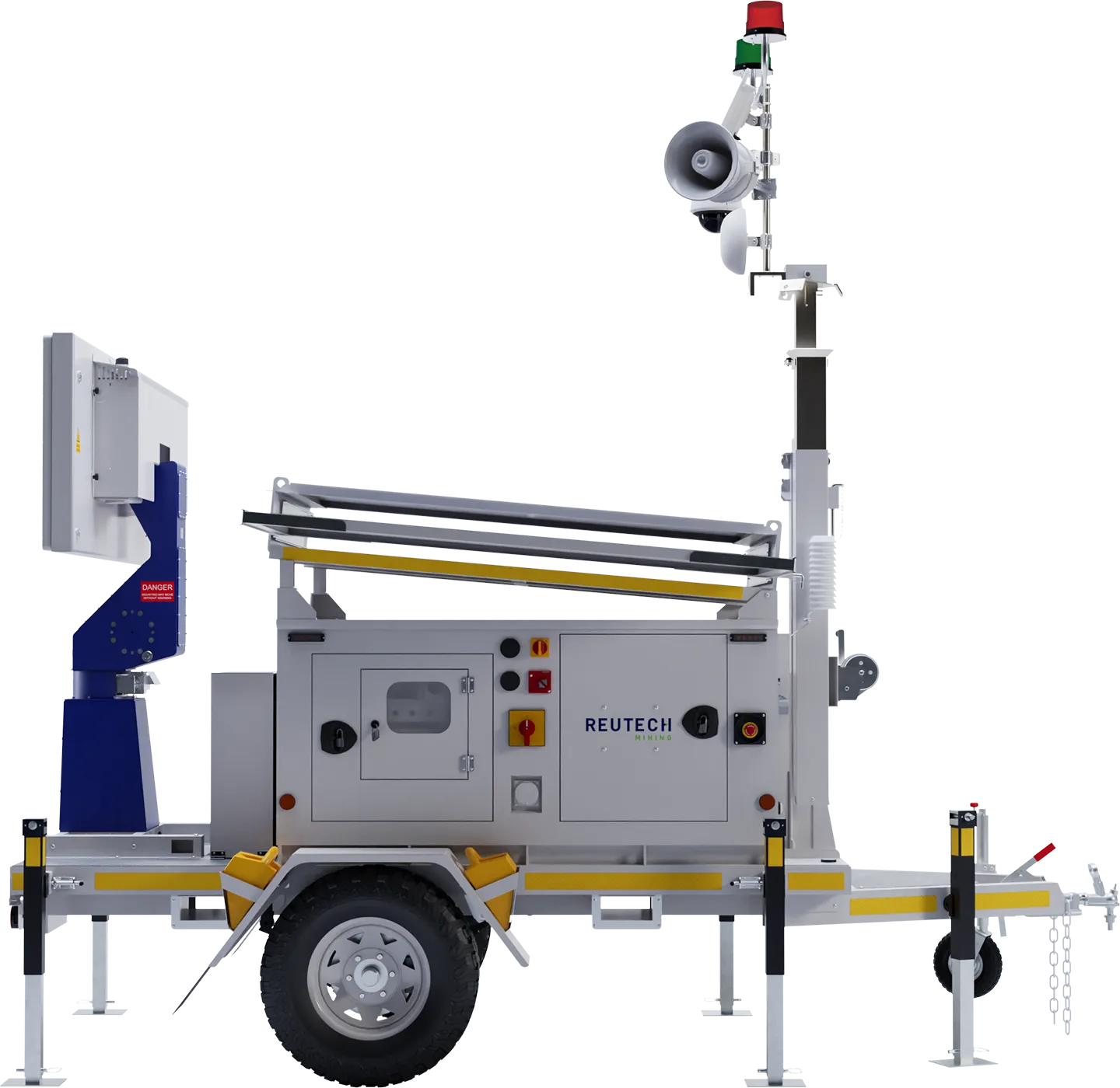
MIMO radar providing high temporal resolution for tactical monitoring applications.
Slope Vision is an optional licensed capability within MSR Solo. The number of supported cameras is determined by the applicable licence.
By providing georeferenced visual information alongside radar deformation monitoring, Slope Vision helps monitoring personnel assess visible slope conditions and the operational context of developing movement.
The visual information supports geotechnical interpretation but does not replace physical site inspections, professional judgement or established monitoring and response procedures.